
Natural Resources
Conservation Service
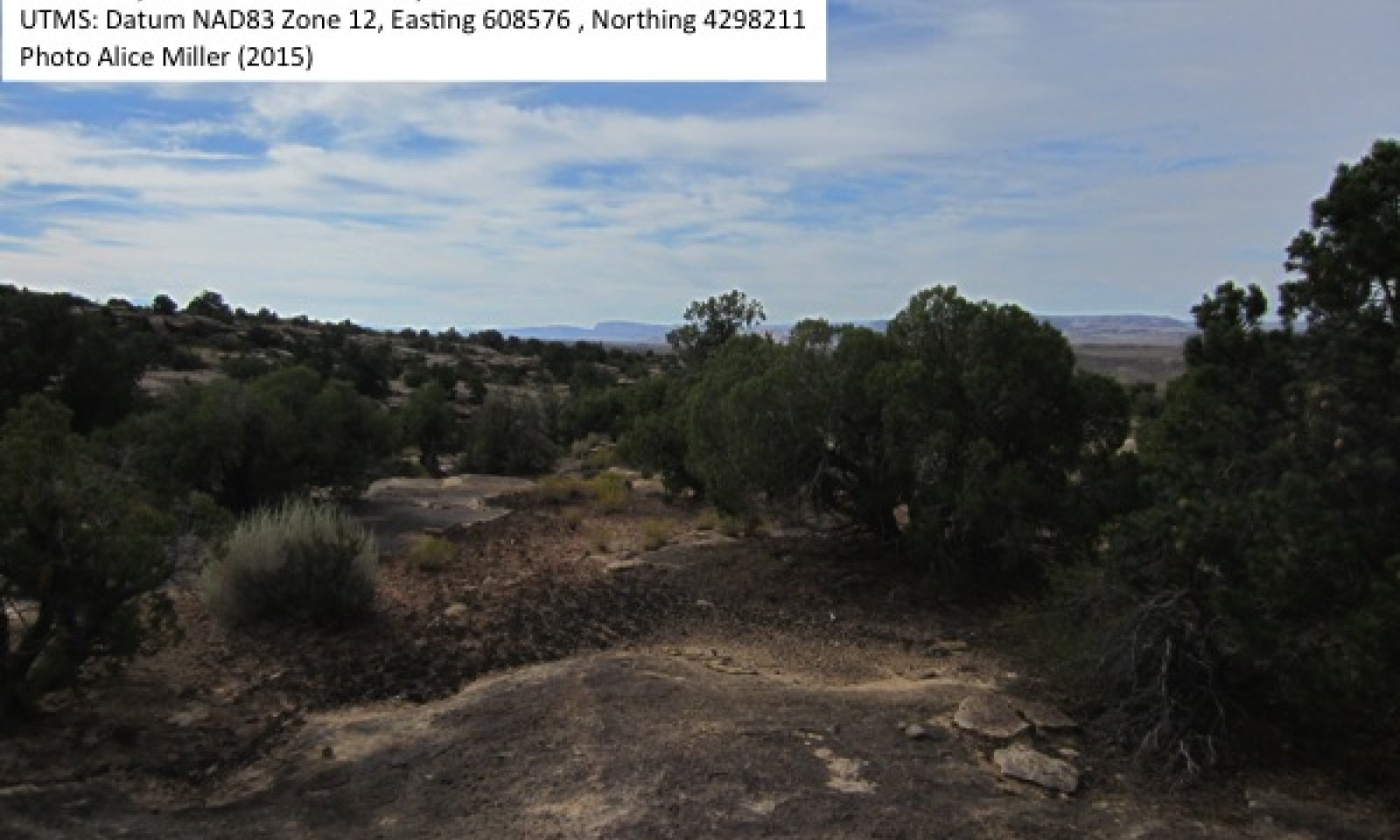
Semidesert Shallow Sandy Loam

Scenario model
Current ecosystem state
Select a state
Management practices/drivers
Select a transition or restoration pathway
- Transition T1 More details
-
No transition or restoration pathway between the selected states has been described
Target ecosystem state
Select a state
Description
The reference state was determined by literature review, historical accounts and observations of trends in plant community dynamics. Community composition data for community phase 1.2 was inferred from the community phase 2.2 and literature.
The reference state represents the plant communities and ecological dynamics of this ecological site under pre-settlement conditions and a natural disturbance regime. The plant communities of the reference state were likely similar to the climate induced plant communities of the current potential state (State 2), and characterized by a sparse overstory of Utah juniper and twoneedle pinyon, over sparse shrubs and grasses. Mormon tea, Bigelow’s sagebrush, and antelope bitterbrush were common shrubs, with a diversity of other species present. Cover of these palatable species may have been higher in the ungrazed reference state. Unpalatable disturbance adapted shrubs like broom snakeweed and rubber rabbitbrush were likely less abundant, and palatable grasses like Indian ricegrass and James’ galleta were likely more abundant (Cole et al. 1997). James’ galleta may be an increaser with grazing pressure at the expense of other less grazing tolerant species (Kleiner 1983), and Indian ricegrass may have been the dominant grass in the reference plant community, or at least more important than observed in the interpretive state plant communities. The primary disturbances included fluctuations in precipitation and native ungulate browsing. Plant community composition likely changed during wet and dry periods, fluctuating between community phase 1.1 and 1.2.
Reference State: Plant communities influenced by climate fluctuations between wet and dry periods.
Indicators: Continuous well-developed BSC and productive perennial grass component.
Feedbacks: Natural fluctuations in climate allow for a self-sustaining sparse woodland community with shrub, grass and forb component.
At-risk Community Phase: Community 1.2 is particularly susceptible to damage.
Trigger: Improper livestock grazing.
Submodel
State 2
Current Potential
Current Potential


Description
This state represents the current potential of this ecological site, and the dynamics include disturbance by livestock and recreational use (mountain biking, hiking, ohv) as well as the natural climate fluctuations that influenced the historic state. The current potential state will naturally fluctuate between Community phases 2.1 and 2.2, and will shift to Community phase 2.3 with abusive livestock or recreational use. Continued abusive use, especially if coupled with severe drought, could cause a transition to an eroded state. The eroded state has not been observed, but managers should be aware of the potential for it to occur.
Current Potential State: Plant communities influenced by climate fluctuations between wet and dry periods, livestock grazing, and recreational use (mountain biking, hiking and ohv).
Indicators: Patchy well-developed BSC with large areas of bare ground, sparse Utah juniper and twoneedle pinyon cover over Mormon tea, Bigelow’s sagebrush, antelope bitterbrush and other shrubs, and sparse James’ galleta. Indian ricegrass may be present at low amounts.
Feedbacks: Natural fluctuations in climate allow for a self-sustaining sparse woodland community with shrub, grass and forb component. Improper livestock grazing or heavy recreational use that further damages BSC and soils, reduces grass cover and promotes establishment of disturbance adapted shrubs.
At-risk Community Phase: Community 2.3 is at risk of transitioning to an eroded state with continued improper livestock grazing or recreational use, especially in combination with drought, but all community phases may be impacted.
Trigger: Continuous improper livestock grazing or recreational use that causes permanent loss of BSC and soils.
Submodel
Model keys
Briefcase
Add { ecological sites } and { Major Land Resource Areas } to your briefcase by clicking on the briefcase
(![]() ) icon wherever it occurs. Drag and drop items to reorder. Cookies are used to store briefcase items between browsing sessions. Because of this, the number of items that can be added to your briefcase is limited, and briefcase items added on one device and browser cannot be accessed from another device or browser. Users who do not wish to place cookies on their devices should not use the briefcase tool. Briefcase cookies serve no other purpose than described here and are deleted whenever browsing history is cleared.
) icon wherever it occurs. Drag and drop items to reorder. Cookies are used to store briefcase items between browsing sessions. Because of this, the number of items that can be added to your briefcase is limited, and briefcase items added on one device and browser cannot be accessed from another device or browser. Users who do not wish to place cookies on their devices should not use the briefcase tool. Briefcase cookies serve no other purpose than described here and are deleted whenever browsing history is cleared.
Ecological sites
Major Land Resource Areas
The Ecosystem Dynamics Interpretive Tool is an information system framework developed by the USDA-ARS Jornada Experimental Range, USDA Natural Resources Conservation Service, and New Mexico State University.
Accessibility statement