
Natural Resources
Conservation Service
Ecological site TX150B01X730
Sandy Bay Bottom
Last updated: 6/13/2025
Accessed: 09/14/2026
-
Search


Major Land Resource Area or ecological site by name and/or ID.
General information
Provisional. A provisional ecological site description has undergone quality control and quality assurance review. It contains a working state and transition model and enough information to identify the ecological site.
MLRA notes
Major Land Resource Area (MLRA): 150B–Gulf Coast Saline Prairies
MLRA 150B is in the West Gulf Coastal Plain Section of the Coastal Plain Province of the Atlantic Plain and entirely in Texas. It makes up about 3,420 square miles. It is characterized by nearly level to gently sloping coastal lowland plains dissected by rivers and streams that flow toward the gulf. Barrier islands and coastal beaches are included. The lowest parts of the area are covered by high tides, and the rest are periodically covered by storm tides. Parts of the area have been worked by wind, and the sandy areas have gently undulating to irregular topography because of low mounds or dunes. Broad, shallow flood plains are along streams flowing into the bays. Elevation generally ranges from sea level to about 10 feet, but it is as much as 25 feet on some of the dunes. Local relief is mainly less than 3 feet. The towns of Groves, Texas City, Galveston, Lake Jackson, and Freeport are in the northern half of this area. The towns of South Padre Island, Loyola Beach, Corpus Christi, and Port Lavaca are in the southern half. Interstate 37 terminates in Corpus Christi, and Interstate 45 terminates in Galveston.
Classification relationships
USDA-Natural Resources Conservation Service, 2006.
-Major Land Resource Area (MLRA) 150BEcological site concept
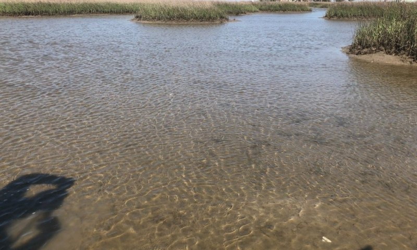
The Sandy Bay Bottoms are continuously inundated by saline water on flood-tidal delta flats and washover-fan flats of lagoons. They were formed from sandy lagoonal deposits and sometimes include dredge spoils. Greater water clarity and shallow depths provide favorable conditions for subaquatic vegetation. The presence and type of vegetation within these sandy sites are dictated by soil and water characteristics, specifically disturbance, salinity, and turbidity.
Associated sites
TX150B01X732 Turbid Bay Bottom
This site has higher turbidity and limited vegetation coverage.
Similar sites
TX150B01X732 Turbid Bay Bottom
This site has higher turbidity and limited vegetation coverage.
R150BY728TX Subaqueous Grassflat
This site has higher salinity and turbidity with a more southern geographic location.
Table 1. Dominant plant species
Tree Not specified
Shrub Not specified
Herbaceous (1) Ruppia maritima
Legacy ID
R150BY730TX


