


Natural Resources
Conservation Service

Scenario model
Current ecosystem state
Select a state
Management practices/drivers
Select a transition or restoration pathway
-
Transition T1A
Frequent, prolonged inundation
More details -
Restoration pathway R2A
Reduced inundation or drought conditions
More details -
Transition T2A
Increased frequency and duration of inundation
More details -
Restoration pathway R3A
Reduced frequency and duration of inundation
More details -
Transition T3A
Increased frequency and duration of inundation
More details -
Restoration pathway R4A
Prolonged frequent and long duration inundation
More details -
No transition or restoration pathway between the selected states has been described
Target ecosystem state
Select a state
State 1
Midgrass/Grass-likes State (Dryer Regime)
Midgrass/Grass-likes State (Dryer Regime)
Description
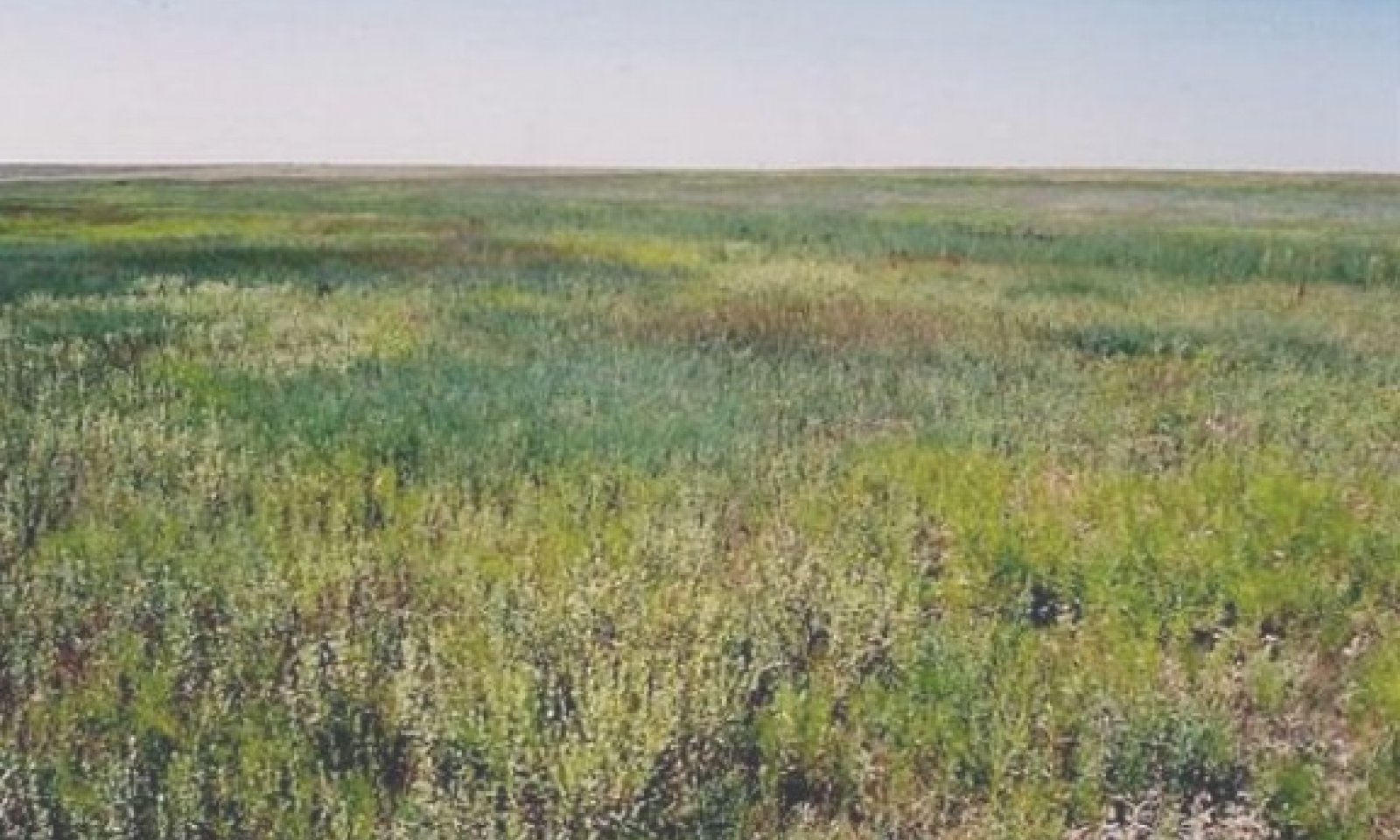
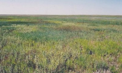
Plants found in this community include midgrasses and forbs with few grasslikes. Midgrasses include western wheatgrass, buffalograss and vine mesquite. There may also be small areas of creeping spikerush present in the micro lows. Infrequent to occasional inundation.
Dominant plant species
buffalograss (Bouteloua dactyloides), grass
turkey tangle fogfruit (Phyla nodiflora), grass
Submodel
State 2
Grass-likes Dominant State (Moderately Wet Regime)
Grass-likes Dominant State (Moderately Wet Regime)
Description
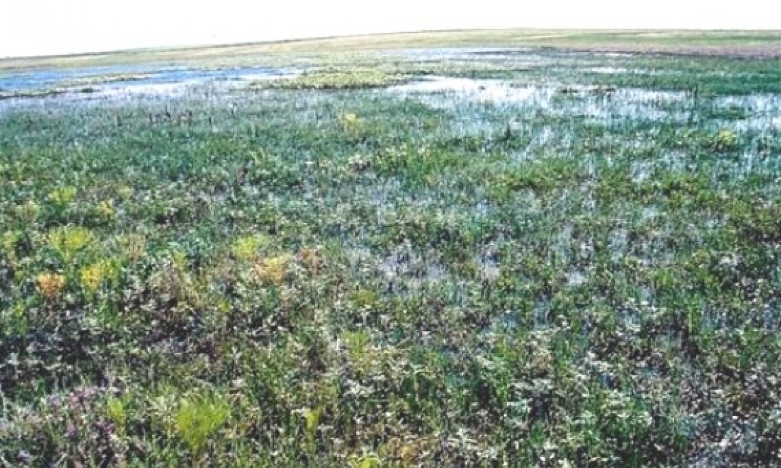
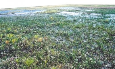
Plants found in this community include creeping spikerush, saltmarsh elder, and rumex. Smaller amounds of facilitating and upland species. Moderate frequency of inundation.
Submodel
Description
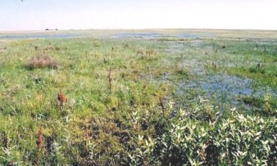
Grass-likes and FACW forbs such as spikerush, smartweed, rumex, loosestrife, and other hydrophytic plants dominate the plant community. Frequent inundation.
Dominant plant species
bulrush (Scirpus), grass
bushy knotweed (Polygonum ramosissimum), grass
loosestrife (Lythrum), grass
Submodel
State 4
Smartweed & Knotgrass State (Wet regime)
Smartweed & Knotgrass State (Wet regime)
Description
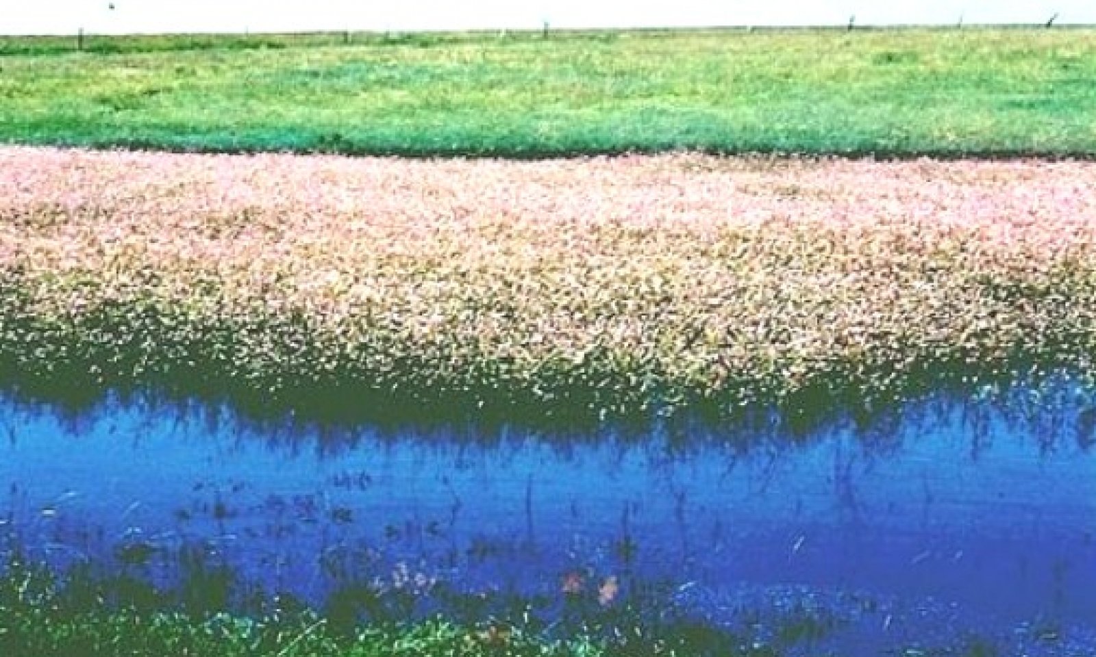
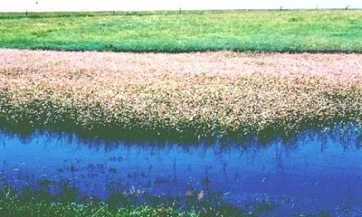
Pennsylvania smartweed is the dominant species with knotgrass growing in shallow water areas. Other species present in smaller amounts are saltmarsh aster, cattail, arrowhead, and curly dock. Shrubs such as willow can be common around the periphery of the basin near the high water mark. Frequent inundation.
Dominant plant species
bushy knotweed (Polygonum ramosissimum), grass
Pennsylvania smartweed (Polygonum pensylvanicum), grass
Submodel
Transition T1A
Frequent, prolonged inundation
Mechanism
Frequency and duration of inundation increases from Infrequent/Occasional to Moderately Frequent. Plants shift from grass dominant to grass-likes dominant.
Restoration pathway R2A
Reduced inundation or drought conditions
Mechanism
Frequency and duration of innudation decreases from Moderately frequent to Infrequent/Occasional. Plants shift from grass-likes dominant to midgrass/grass-likes dominant.
Transition T2A
Increased frequency and duration of inundation
Mechanism
Frequency and duration of innudation increases from moderately frequent to frequent. Plants shift from grass-likes dominant to grass-likes/forb dominant.
Restoration pathway R3A
Reduced frequency and duration of inundation
Mechanism
Frequency and duration of innudation decreases from frequent to moderately frequent. Plants shift from grass-likes/forbs dominant to grass-likes dominant.
Transition T3A
Increased frequency and duration of inundation
Mechanism
Frequency and duration of innudation increases from frequent to frequent. Plants shift from grass-likes/forb dominant to smartweed/knotgrass dominant community.
Restoration pathway R4A
Prolonged frequent and long duration inundation
Mechanism
Frequency and duration of inundation remains frequent. Plants shift from smartweed/knotgrass dominant to grass-likes/forbs dominant community.
Model keys
Briefcase
Add { ecological sites } and { Major Land Resource Areas } to your briefcase by clicking on the briefcase
( ) icon wherever it occurs. Drag and drop items to reorder. Cookies are used to store briefcase items between browsing sessions. Because of this, the number of items that can be added to your briefcase is limited, and briefcase items added on one device and browser cannot be accessed from another device or browser. Users who do not wish to place cookies on their devices should not use the briefcase tool. Briefcase cookies serve no other purpose than described here and are deleted whenever browsing history is cleared.
Ecological sites
Major Land Resource Areas


The Ecosystem Dynamics Interpretive Tool is an information system framework developed by the USDA-ARS Jornada Experimental Range, USDA Natural Resources Conservation Service, and New Mexico State University.
Accessibility statement