
Natural Resources
Conservation Service
Ecological site F043BP707WY
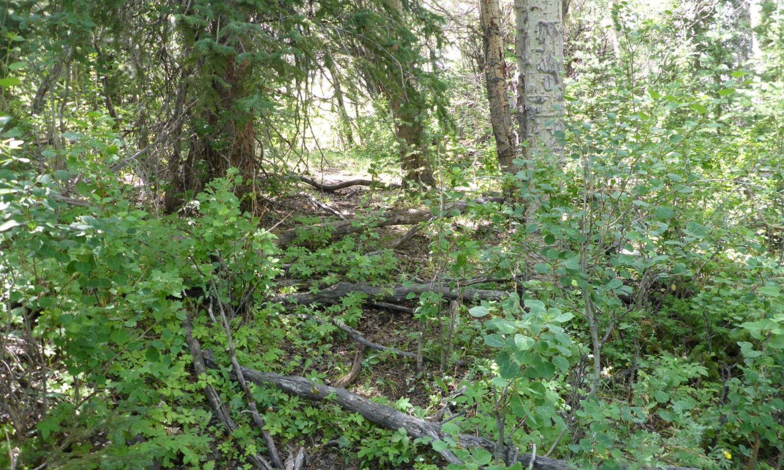
Subirrigated Cool Woodland Group
Last updated: 4/16/2025
Accessed: 10/16/2026
-
Search


Major Land Resource Area or ecological site by name and/or ID.
General information
Provisional. A provisional ecological site description has undergone quality control and quality assurance review. It contains a working state and transition model and enough information to identify the ecological site.
MLRA notes
Major Land Resource Area (MLRA): 043B–Central Rocky Mountains
043B – Central Rocky Mountains – This MLRA is extensive including Montana, Idaho, Wyoming and a small portion in Utah. This MLRA consists of the major chains of Mountain Ranges with the corresponding valleys. Cartographic standards limited the ability to capture the foothills as a separate MLRA, so revisions of the MLRA boundaries in 2006 led to the inclusion of the foothills with the mountains for much of Wyoming.
Further information regarding MLRAs, refer to: United States Department of Agriculture, Natural Resources Conservation Service. 2006. Land Resource Regions and Major Land Resource Areas of the United States, the Caribbean, and the Pacific Basin. U.S. Department of Agriculture Handbook 296. Available electronically at: http://www.nrcs.usda.gov/wps/portal/nrcs/detail/soils/ref/?cid=nrcs142p2_053624#handbook.LRU notes
LRU P: PES (Provisional Ecological Site or Group - PEG) A PROVISIONAL ECOLOGICAL SITE is a conceptual grouping of soil map unit components within a Major Land Resource Area
(MLRA) based on the similarities in response to management. Although there may be wide variability in the productivity of the soils grouped into a Provisional Site, the soil vegetation
interactions as expressed in the State and Transition Model are similar and the management actions required to achieve objectives, whether maintaining the existing ecological state or managing for an alternative state, are similar. Provisional Sites are
likely to be refined into more precise concept during the process of meeting the APPROVED ECOLOGICAL SITE DESCRIPTION criteria.
This PROVISIONAL ECOLOGICAL SITE has been developed to meet the standards established in the National Ecological Site Handbook. The information associated with this ecological site does not meet the Approved Ecological Site Description Standard,
but it has been through a Quality Control and Quality Assurance processes to assure consistency and completeness. Further investigations, reviews and correlations are necessary before it becomes an Approved Ecological Site Description.Classification relationships
Other Classifications:
PIEN/EQAR h.t. (Steele Et.Al. 1983)
PIEN/CALE4 h.t. (Steele Et.Al. 1983)
PIEN/CADI6 h.t. (Steele Et.Al. 1983)Ecological site concept
• Site does receive additional water, saturated most of the growing season
• Soils are
o Generally not saline or saline-sodic
o Moderately deep, deep, or very deep
o Typically less than 15% stone and boulder cover
o Soil surface texture ranges from sandy loam to clay loam in surface mineral 4”
o Organic layer common (up to 12” of muck)
o Hummocking is frequentAssociated sites
R043BY230WY Overflow Foothills and Mountains West
Overflow 15-19" Precipitation Foothills and Mountain West are open, herbaceous areas that will occur on the fringes of wetter sites, but do not have a water table and benefit form overland flow.
R043BY378WY Wetland (WL) 15-19” Foothills and Mountains East Precipitation Zone
Wetlands 15-19" Precipitation Foothills and Mountain East are open, herbaceous areas that will occur in depressions on the landscape. They have water on the surface for at least part of the growing season.
R043BY330WY Overflow (Ov) 15-19” Foothills and Mountains East Precipitation Zone
Overflow 15-19" Precipitation Foothills and Mountain East are open, herbaceous areas that will occur on the fringes of wetter sites, but do not have a water table and benefit form overland flow.
R043BY278WY Wetland Foothills and Mountains West
Wetlands 15-19" Precipitation Foothills and Mountain West are open, herbaceous areas that will occur in depressions on the landscape. They have water on the surface for at least part of the growing season.
F043BP708WY Upland Aspen Woodland Group
Upland Aspen Woodland can be intermixed, especially in broken or uplifted areas following sharp valleys or canyon systems.
F043BP702WY Shallow Cool Woodland Group
Shallow Cool Woodland can be found adjacent to on dry, upland sites where rock outcrop protrudes above the wet soils.
F043BP710WY Upland Cool Woodland Group
Upland Cool Woodland can be found adjacent to on the dry upland sites near the Subirrigated Cool Woodlands.
Similar sites
R043BY274WY Subirrigated Foothills and Mountains West
Subirrigated 15-19" Precipitation Foothills and Mountain West are open, herbaceous areas that will occur in similar soil conditions where a water table is present to within 30 cm of the soil surface for part of the growing season.
R043BY374WY Subirrigated (Sb) 15-19” Foothills and Mountains East Precipitation Zone
Subirrigated 15-19" Precipitation Foothills and Mountain East are open, herbaceous areas that will occur in similar soil conditions where a water table is present to within 30 cm of the soil surface for part of the growing season.
Table 1. Dominant plant species
Tree (1) Picea engelmannii
(2) Populus balsamiferaShrub (1) Vaccinium scoparium
(2) CornusHerbaceous (1) Equisetum
(2) Caltha


