Natural Resources
Conservation Service
Ecological site R035XG724AZ
Semi-Riparian Canyon Bottom
14-18" p.z.
Last updated: 5/19/2025
Accessed: 06/29/2026
-
Search


Major Land Resource Area or ecological site by name and/or ID.
General information
Provisional. A provisional ecological site description has undergone quality control and quality assurance review. It contains a working state and transition model and enough information to identify the ecological site.
MLRA notes
Major Land Resource Area (MLRA): 035X–Colorado Plateau
MLRA CHARACTERISTICS-THESE ARE GENERAL STATEMENTS
AZ CRA 35.7 – Colorado Plateau Woodland – Grassland
Elevations range from 5000 to 7000 feet and precipitation averages 14 to 18 inches per year. Vegetation includes one-seed juniper, Colorado pinyon, Stansbury cliffrose, Apache plume, four-wing saltbush, green Mormon tea, needle and thread, sideoats grama, blue grama, black grama, galleta, bottlebrush squirreltail, and muttongrass. The soil temperature regime is mesic and the soil moisture regime is aridic ustic. This unit occurs within the Colorado Plateau Physiographic Province and is characterized by a sequence of flat to gently dipping sedimentary rocks eroded into plateaus, valleys and deep canyons. Sedimentary rock classes dominate the plateau with volcanic fields occurring for the most part near its margin.
SITE FEATURES
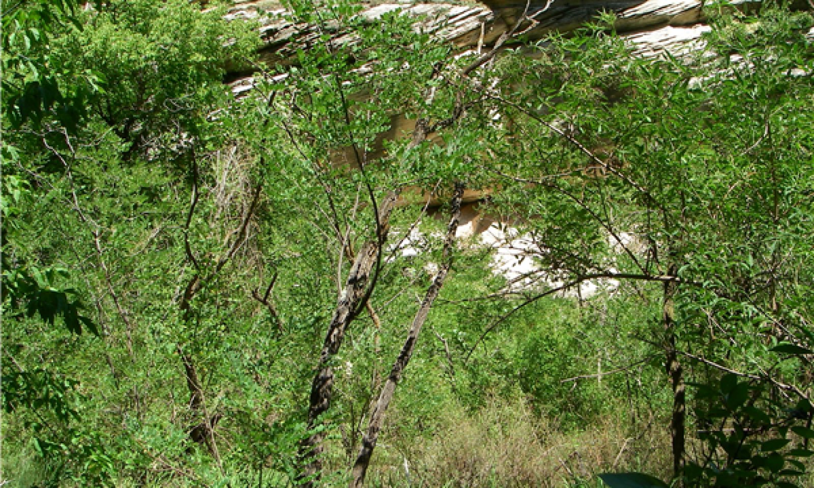
The type location for this site occurs in Walnut Canyon National Monument near Flagstaff, Arizona. This semi-riparian site is a relict channel and floodplain of Walnut Creek. This stream was historically ephemeral, and recently water has been diverted away from the channel, causing previously riparian sites with a high water table to become more similar to an upland dryland siteEcological site concept
Soils grouped on this site are deep and well drained. Surface textures are predominantly loam. This ecological site occurs on relict stream terraces. Slopes generally range from 2 to 8 percent.
Associated sites
F039XA139AZ Limestone/Sandstone Upland 17-22"
R035XG723AZ Limestone/Sandstone Upland (Pinyon-Juniper) 14-18" p.z.
R039XA140AZ Canyon Bottom (Riparian) 18-22" p.z.
Similar sites
R039XA140AZ Canyon Bottom (Riparian) 18-22" p.z.
This site is part of the stream channel on Walnut Canyon National Monument that crosses the current MLRA boundaries of MLRA 35 and MLRA 39.
Table 1. Dominant plant species
Tree (1) Chrysothamnus
(2) Bouteloua gracilisShrub (1) Acer negundo
(2) PopulusHerbaceous Not specified


