Natural Resources
Conservation Service
-
Search


Major Land Resource Area or ecological site by name and/or ID.
General information
Provisional. A provisional ecological site description has undergone quality control and quality assurance review. It contains a working state and transition model and enough information to identify the ecological site.
Click to explore map
Figure 1. Mapped extent
Areas shown in blue indicate the maximum mapped extent of this ecological site. Other ecological sites likely occur within the highlighted areas. It is also possible for this ecological site to occur outside of highlighted areas if detailed soil survey has not been completed or recently updated.
MLRA notes
Major Land Resource Area (MLRA): 030X–Mojave Basin and Range
MLRA Description:
Major Land Resource Area (MLRA) 30, Mojave Desert, is found in southern California, southern Nevada, the extreme southwest corner of Utah and northwestern Arizona within the Basin and Range Province of the Intermontane Plateaus. The climate of the area is hot (primarily hyperthermic and thermic; however at higher elevations, generally above 5000 feet, mesic, cryic and frigid) and dry (aridic). Elevations range from below sea level to over 12,000 feet in the higher mountain areas found within the MLRA. Due to the extreme elevational range found within this MLRA, Land Resource Units (LRUs) were designated to group the MLRA into similar land units.
LRU Description:
This Land Resource Unit (designated by ‘XD’) is found on the eastern side of California. Elevations range from 400 to 2200 feet on average, but may be found up to 3600 feet on southern exposures. Precipitation ranges from 1 to 6 inches per year, but averages between 2-4 inches. This LRU is characterized primarily by the extreme aridity, hot temperatures, hyperthermic soil temperatures and low stature of widely spaced vegetation. Temperatures can reach over 110 degrees Fahrenheit for several weeks in July and August. Summer precipitation falls between July and September, ranging from 20-33% in the form of rain, and winter precipitation falls starting in November and ends between February and March, ranging from 56-70%, also mostly in the form of rain. Vegetation is primarily small, widely-spaced, low-producing creosote bush (Larrea tridentata), burrobush (Ambrosia dumosa), and brittlebush (Encelia farinosa).
Ecological Site Concept –
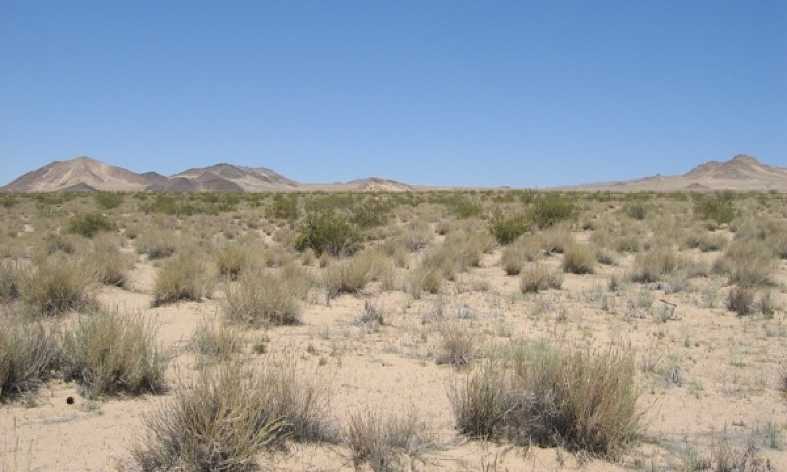
This ecological site is found on semi-stabilized sandsheets at elevations ranging from 1150 to 2200 feet, and slopes of 2 to 15 percent. Dominant soils are very deep fine sands that formed from eolian deposits and exhibit no soil development. Soils may have an alluvial influence, but eolian processes dominate.
The reference community is dominated by big galleta (Pleuraphis rigida), and creosote bush (Larrea tidentata) is the dominant shrub. Production reference value (RV) is 470 pounds per acre, and depending on precipitation and resulting annual forb production, ranges from 280 to 625 pounds per acre. Annual forbs are abundant during years of average to above average precipitation. Semi-stabilized, deep fine sands are optimum habitat for big galleta, which colonizes and stabilizes these eolian habitats with rhizomatous growth.
The data in the following sections is from major (15% of mapunit or greater) components only.
Classification relationships
This ecological site is found within the Pleuraphis rigida Herbaceous Alliance (Sawyer et al. 2009), and includes the Pleuraphis rigida/Larrea tridentata Association.
Associated sites
R030XD001CA Hyperthermic Dry Hills
R030XD001CA is found on adjacent hillslopes. Creosote bush (Larrea tridentata) and burrobush (Ambrosia dumosa) are dominant.
R030XD003CA Hyperthermic Steep South Slopes
R030XD003CA is found on adjacent mountain slopes. Brittlebush (Encelia farinosa) and creosote bush (Larrea tridentata) are dominant.
R030XD004CA Low-Production Hyperthermic Hills
R030XD004CA is found on adjacent mountain slopes. Creosote bush (Larrea tridentata) is dominant.
R030XD006CA Abandoned Fan
R030XD006CA is found on adjacent fan aprons. Creosote bush (Larrea tridentata) is dominant.
R030XD008CA Hyperthermic Sandhill
R030XD008CA is found on adjacent steep sandsheets with slopes greater than 8 percent. Creosote bush (Larrea tridentata) and big galleta (Pleuraphis rigida) are dominant species.
R030XD015CA Hyper-Arid Fans
R030XD015CA is found on adjacent fan aprons. Creosote bush (Larrea tridentata) and burrobush (Ambrosia dumosa) are dominant.
R030XD025CA Hyperthermic Sandsheets
R030XD025CA is found on adjacent more stable sandsheets with higher cover of surface gravels. Creosote bush (Larrea tridentata) is dominant and big galleta (Pleuraphis rigida) and Emory's dyebush (Psorothamnus emoryi) are important species.
R030XY001CA Occasionally Flooded, Hyperthermic, Diffuse Ephemeral Stream
R030XY001CA is found on adjacent small, occasionally flooded ephemeral drainageways. Creosote bush (Larrea tridentata) and Schott's dalea (Psorothamnus schottii) are dominant species.
R030XY092NV DESERT PATINA
This ecological site is found on adjacent fan remnants covered with desert pavement. Very sparse vegetation is dominated by creosote bush (Larrea tridentata).
Similar sites
R030XD025CA Hyperthermic Sandsheets
R030XD025CA is found on more stable sandsheets with higher cover of surface gravels. Production is lower and creosote bush (Larrea tridentata) is dominant.
R030XD045CA Hyperthermic Stable Sand Dunes And Sandsheets
R030XD045CA is found on less stable sandsheets. Production is much higher, and big galleta (Pleuraphis rigida) is very strongly dominant.
R030XD008CA Hyperthermic Sandhill
R030XD008CA is found on dunes and steeper sandsheets, with slopes of 8 to 30 percent. Production is lower and creosote bush (Larrea tridentata) and big galleta (Pleuraphis rigida) are codominant.
Table 1. Dominant plant species
Tree Not specified
Shrub (1) Larrea tridentata
Herbaceous (1) Pleuraphis rigida

